
AI-powered map editing from satellite imagery
Book a personalized demo with our team.
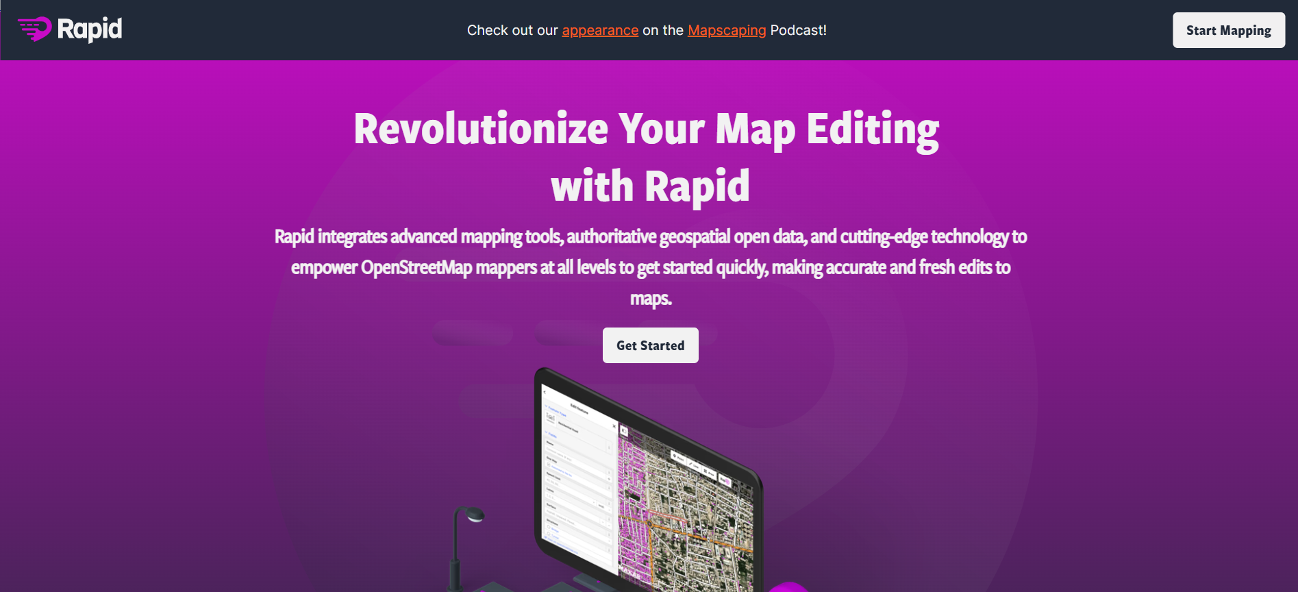
Rapid Editor is a modern web-based mapping platform designed to enhance the creation and editing of maps using artificial intelligence and open data. It integrates satellite imagery, machine learning predictions, and authoritative geospatial datasets to simplify mapping workflows. The tool automatically detects features like roads and buildings from imagery, reducing the need for manual drawing and significantly speeding up map creation. It is tightly integrated with OpenStreetMap, allowing users to contribute accurate, up-to-date map data while benefiting from built-in validation and integrity checks.
GIS Professionals, Cartographers, OpenStreetMap Contributors, Researchers, Humanitarian Organizations
USA
No reviews yet
Be the first to share your experience!
Own this tool? Claim your professional dashboard from us for free.